Mobirise

1. CROP MONITORING 

FOR PRIORITISATION OF FARM WORK

Effective farm work planning requires constant knowledge about crop maturity and health.

2.  FIELD SCOUTING AND ANOMALY DETECTION

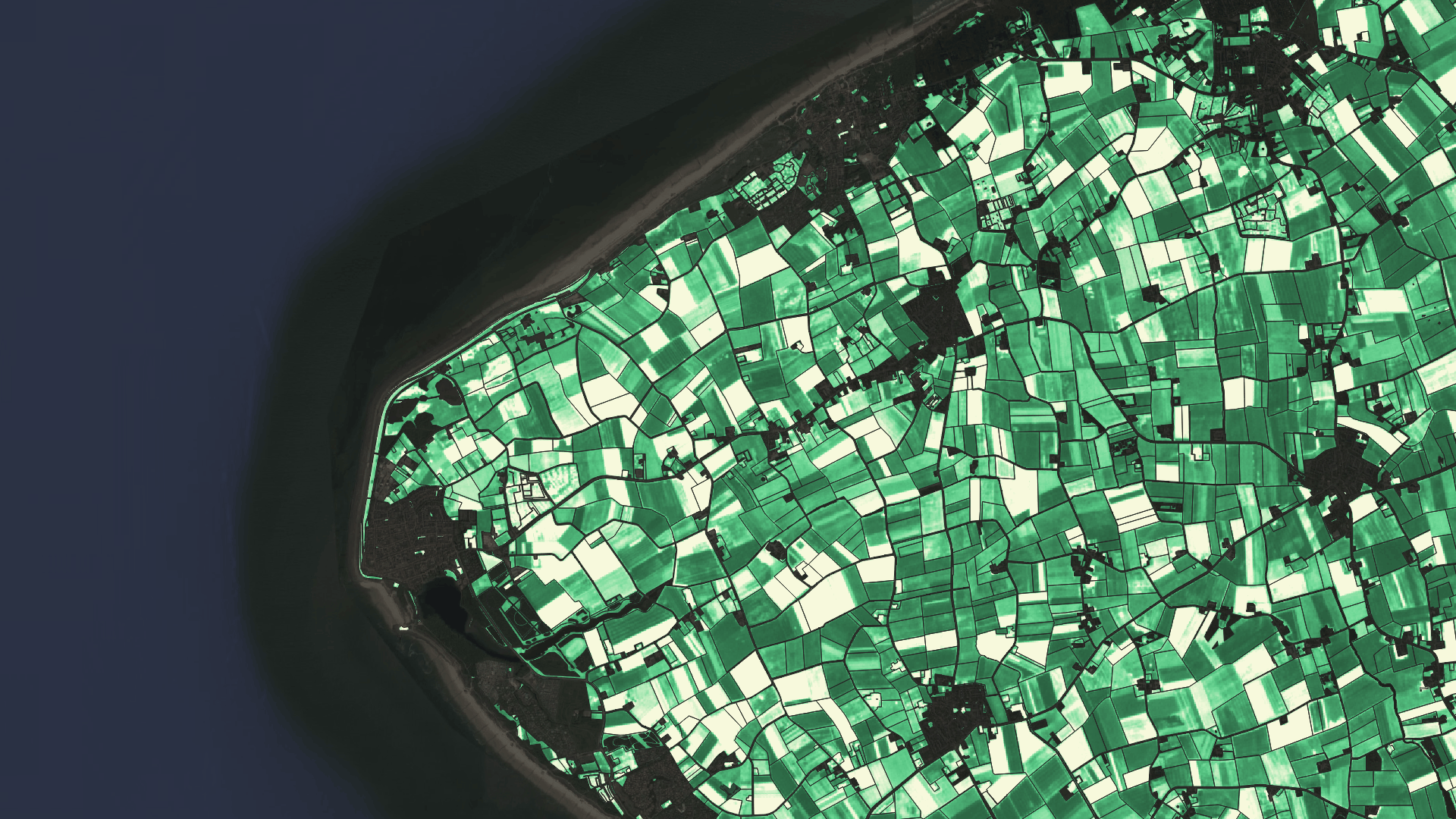
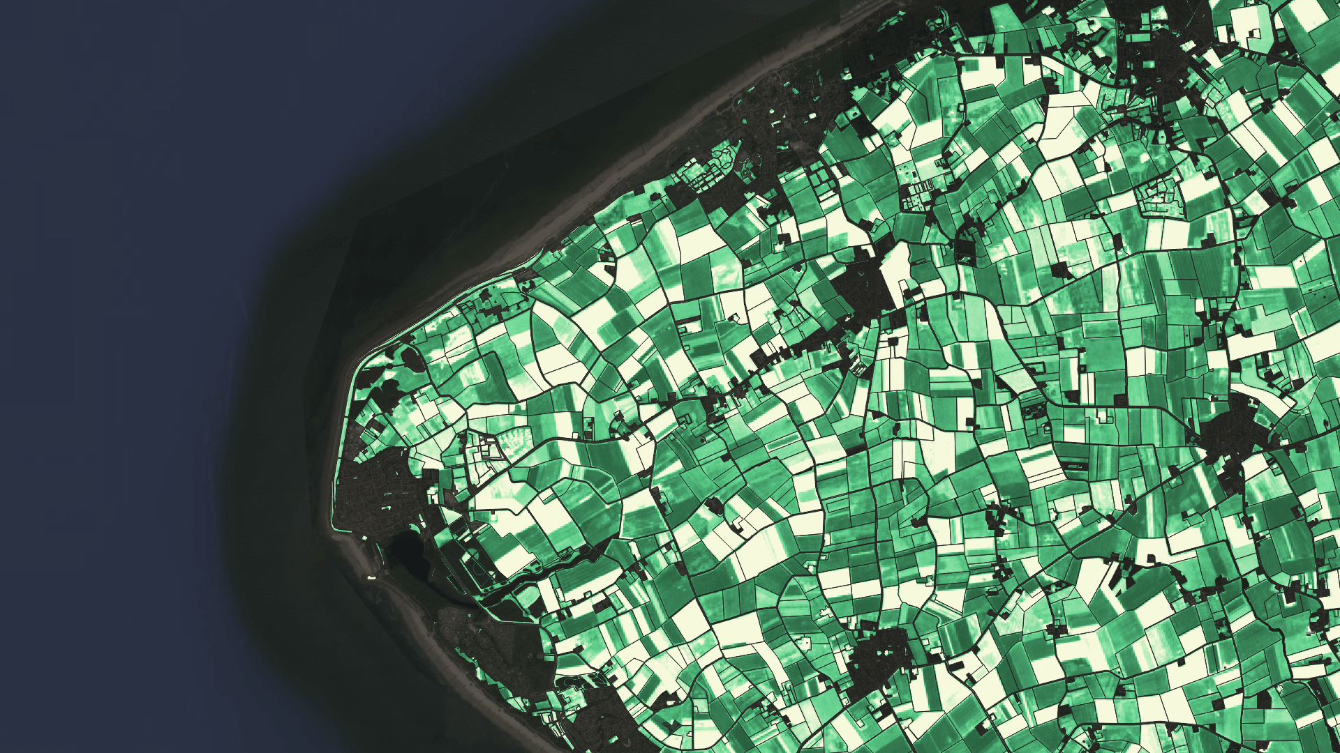
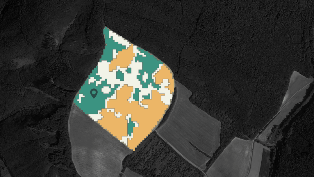
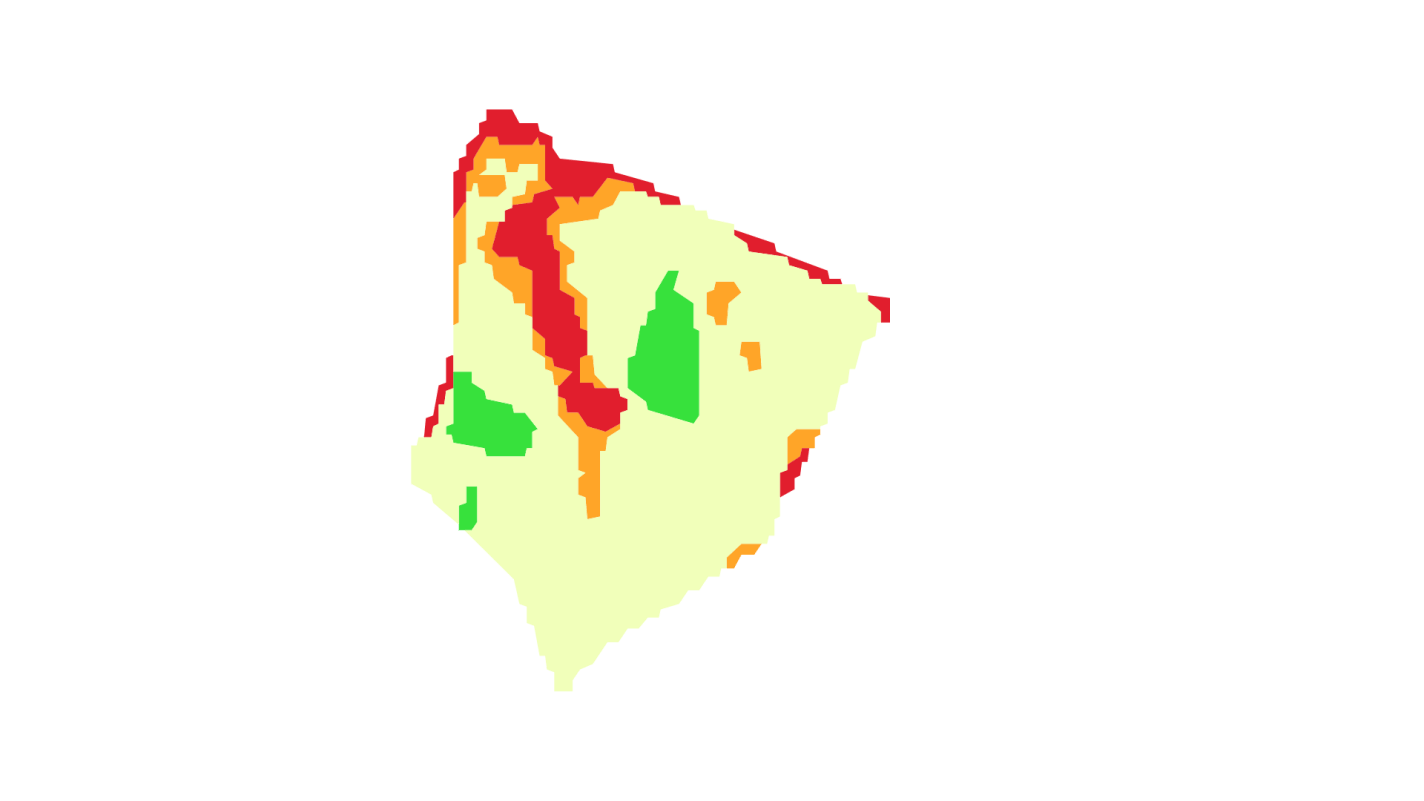
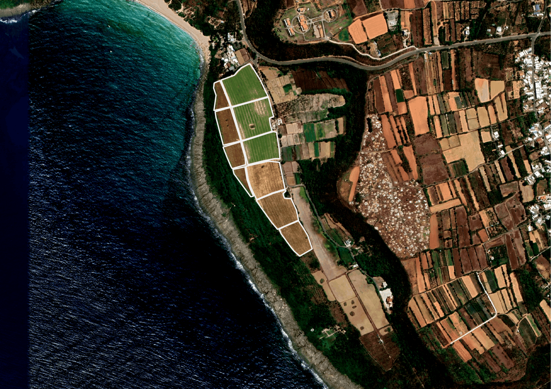
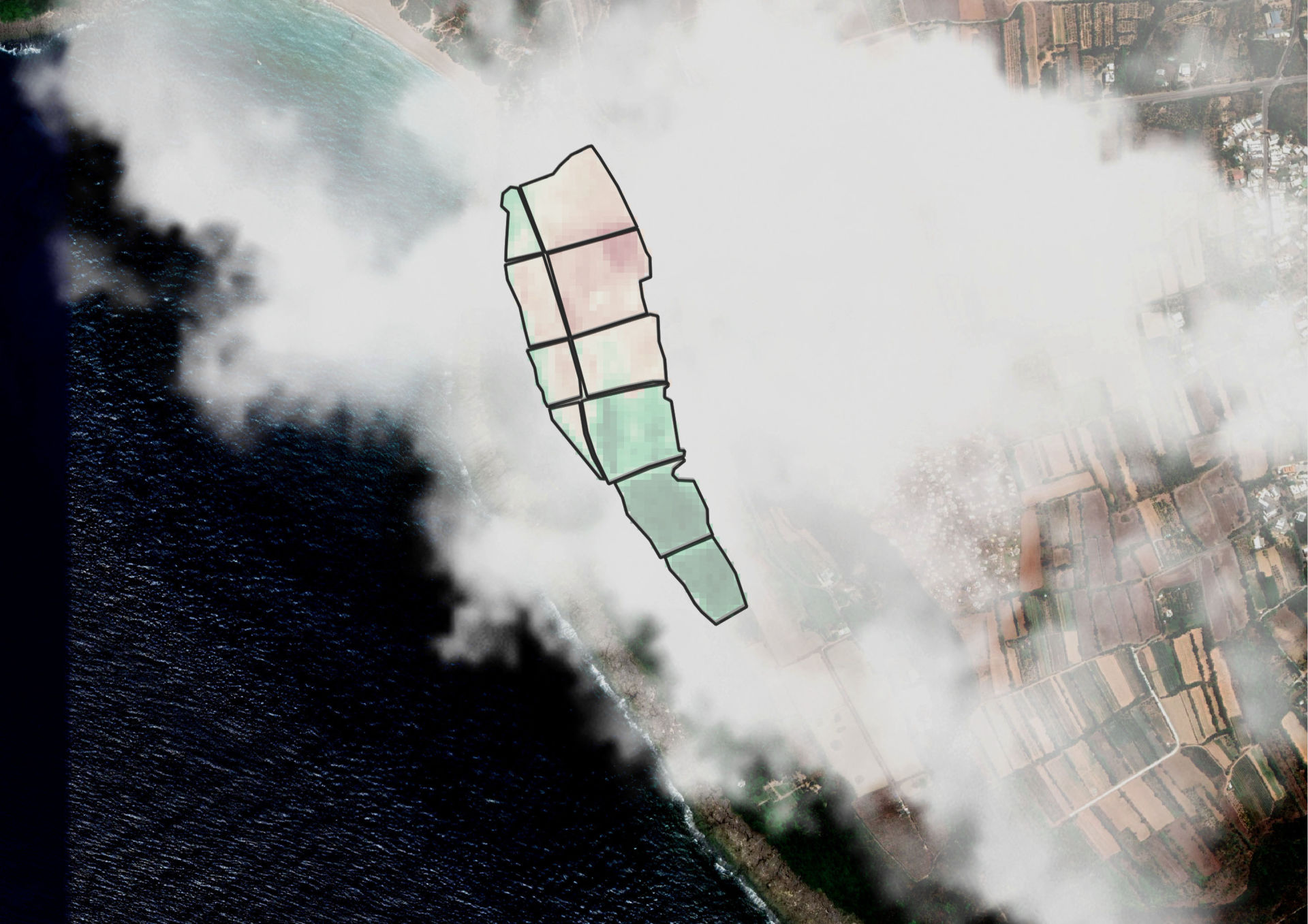
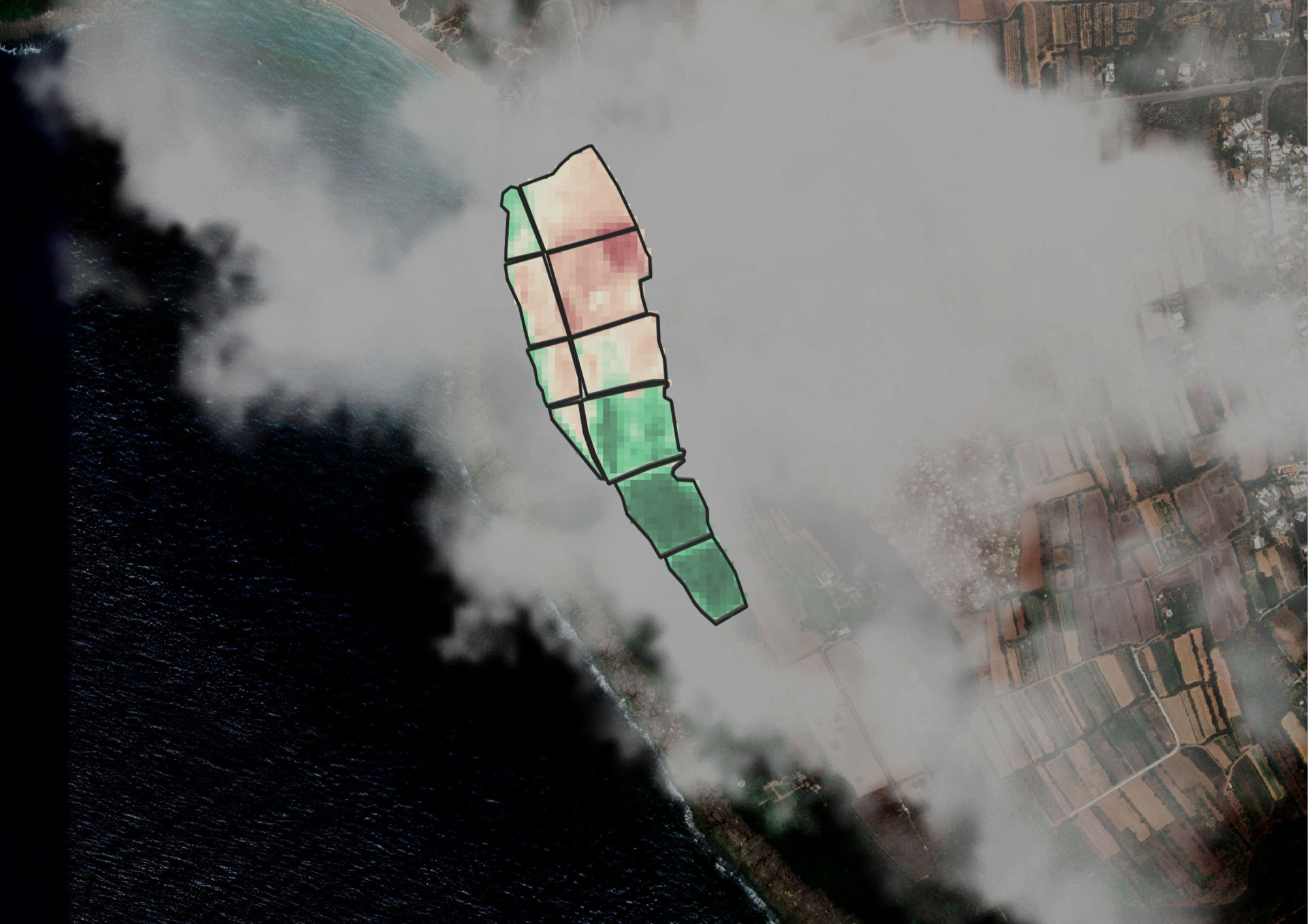
Different conditions should be treated variably.

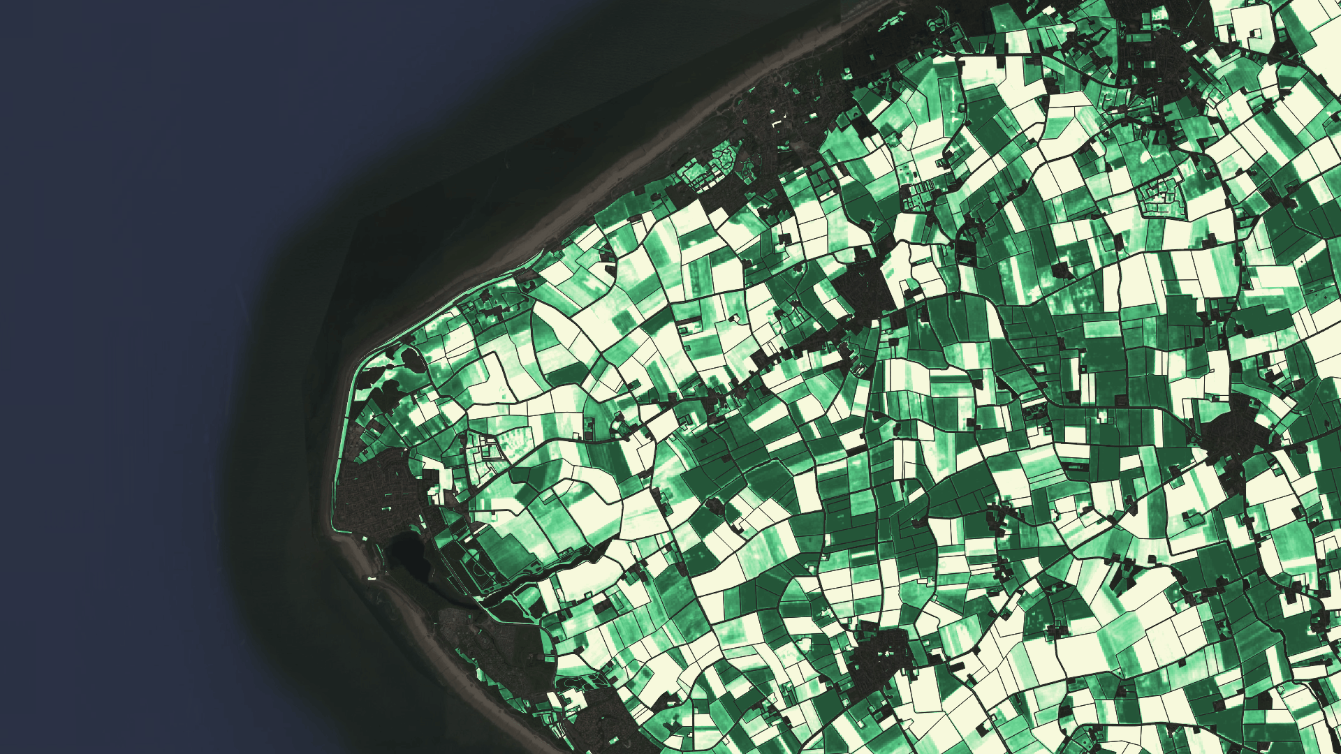
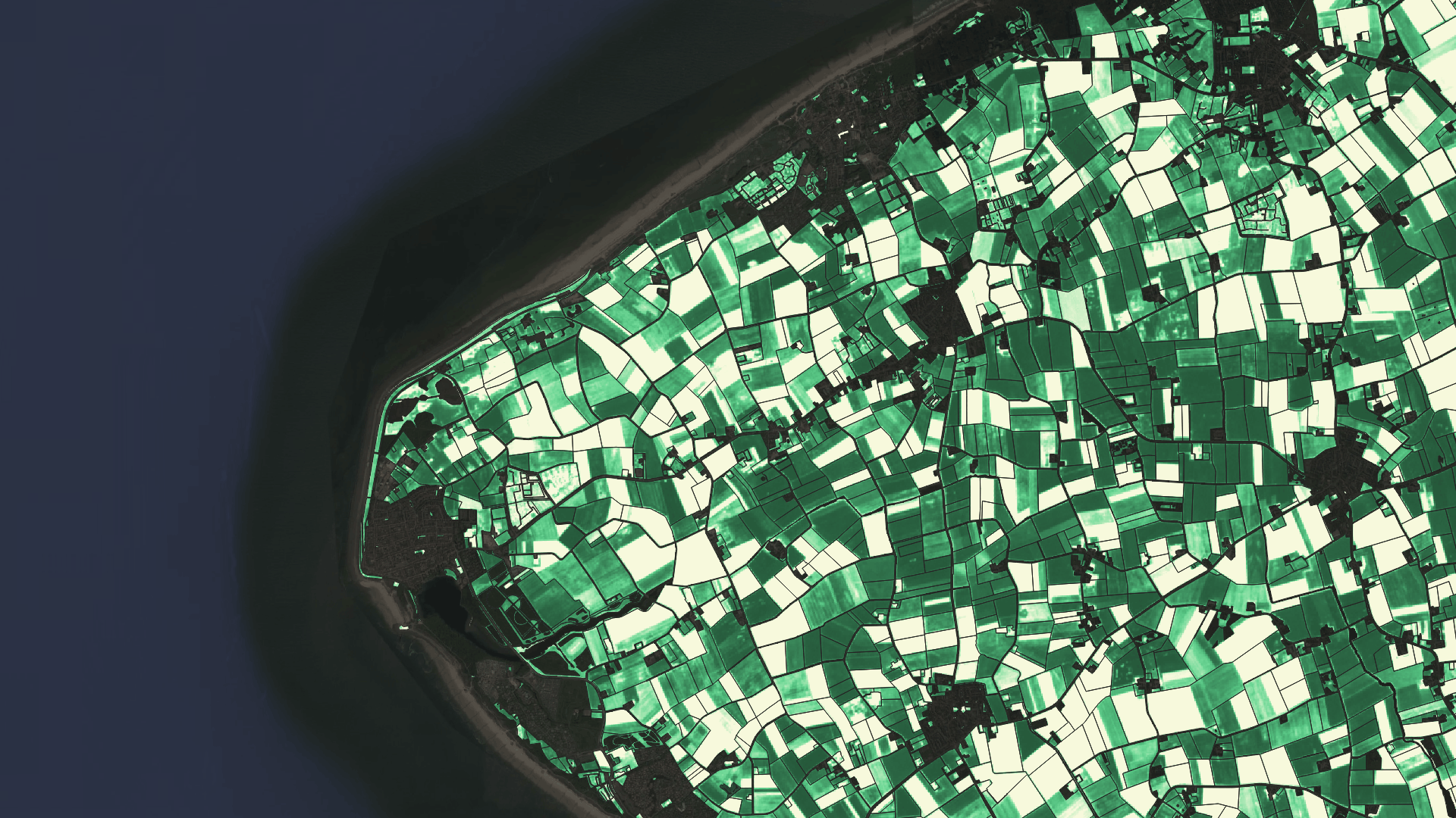
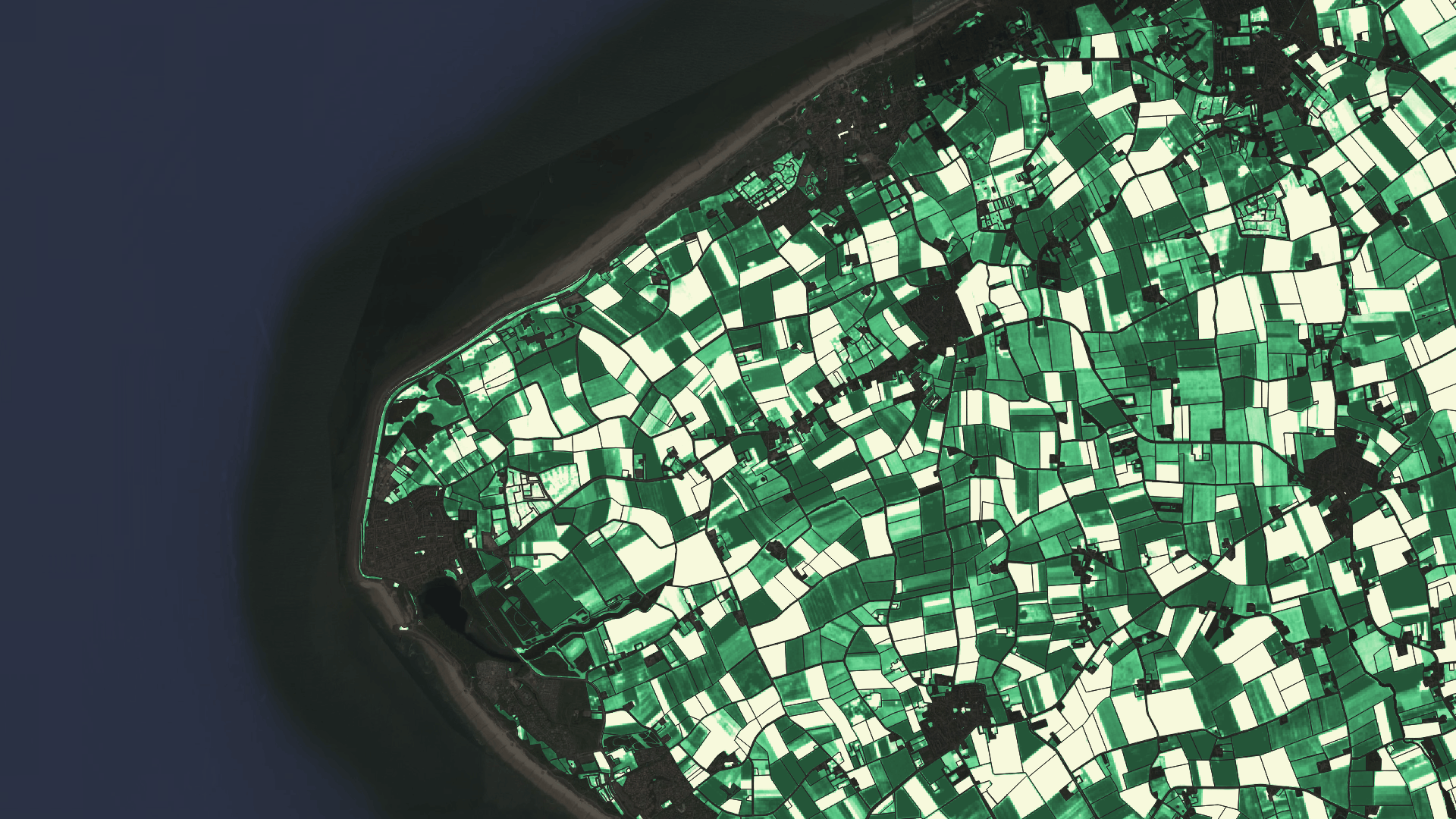
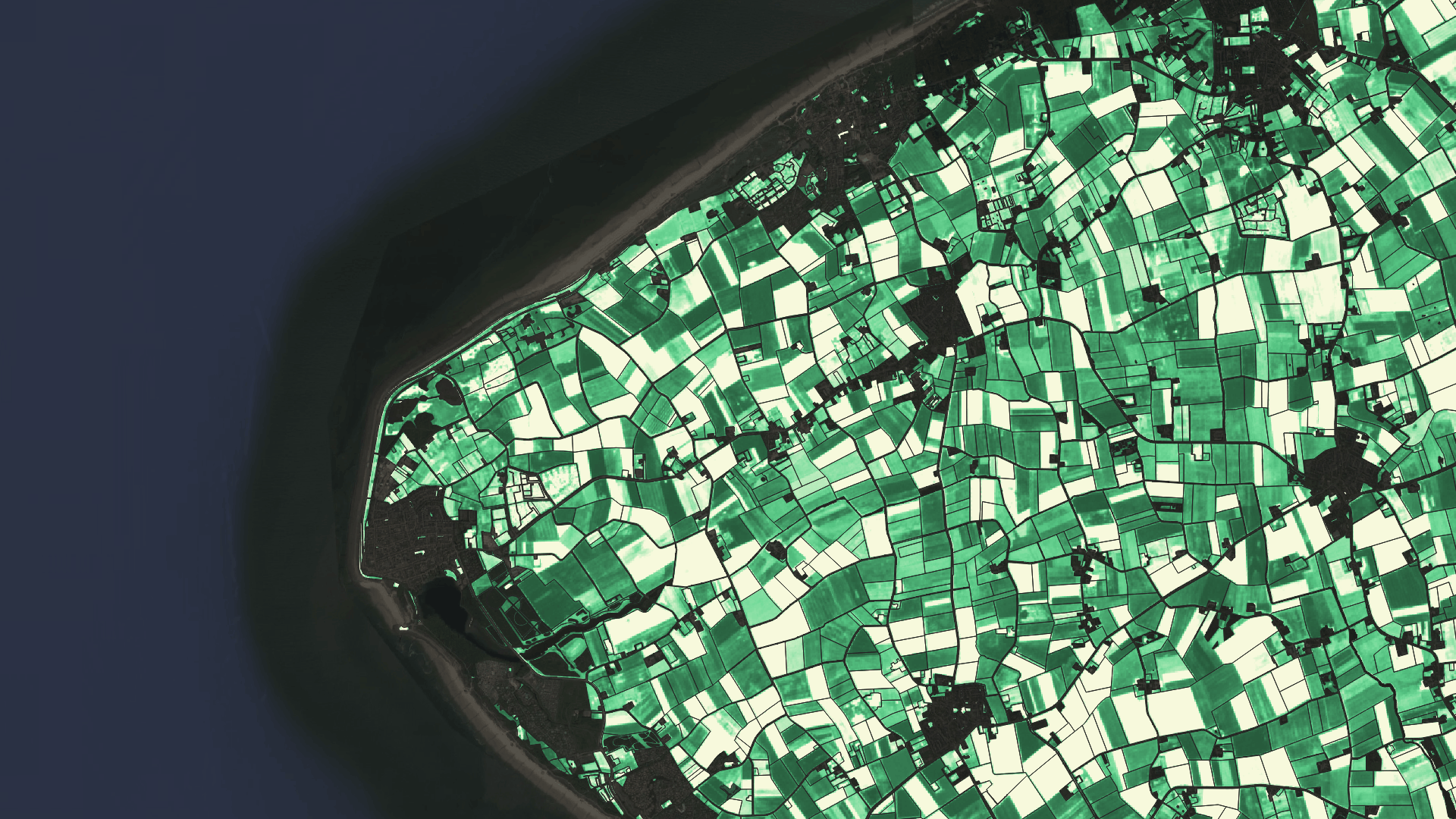
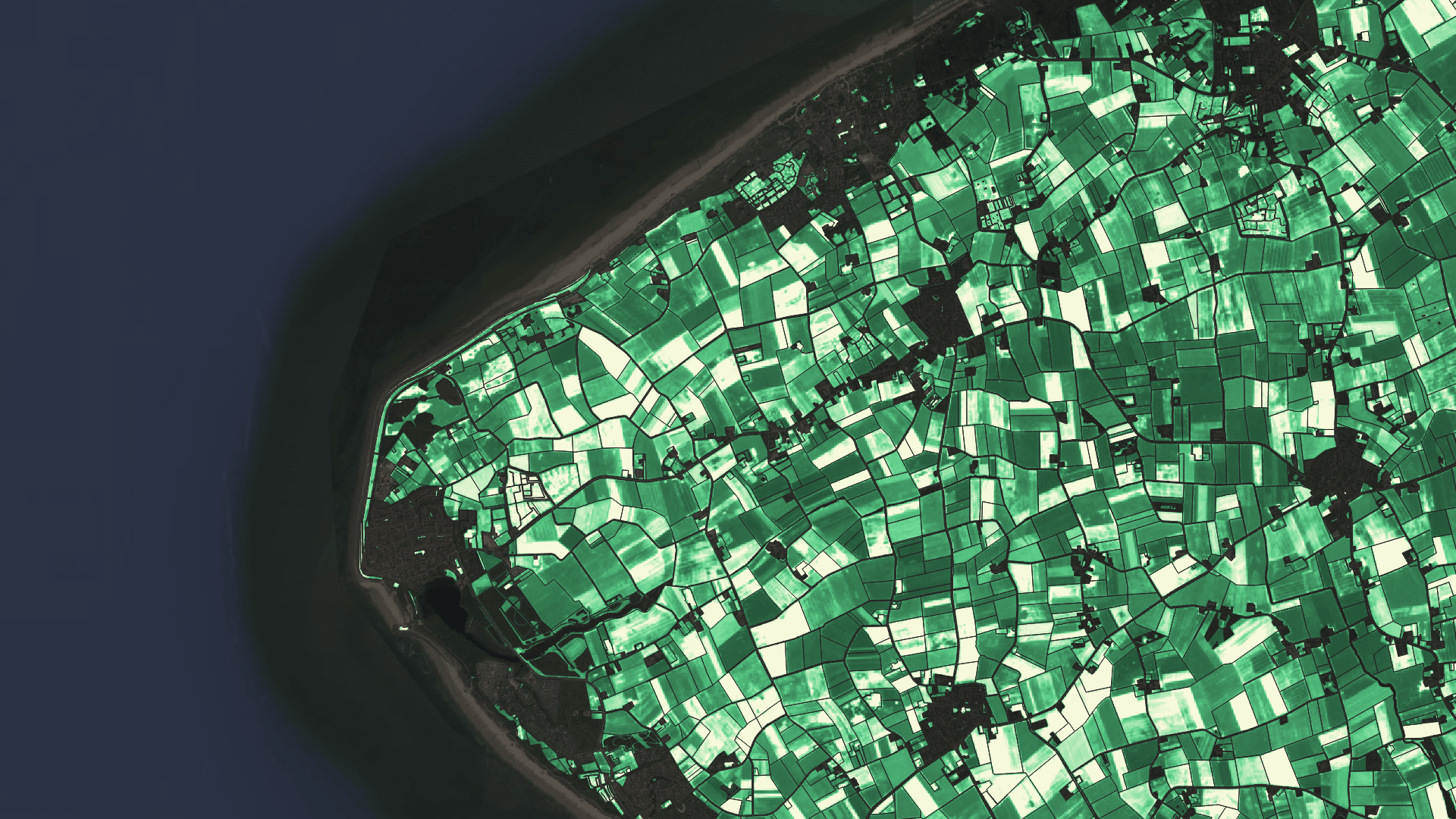
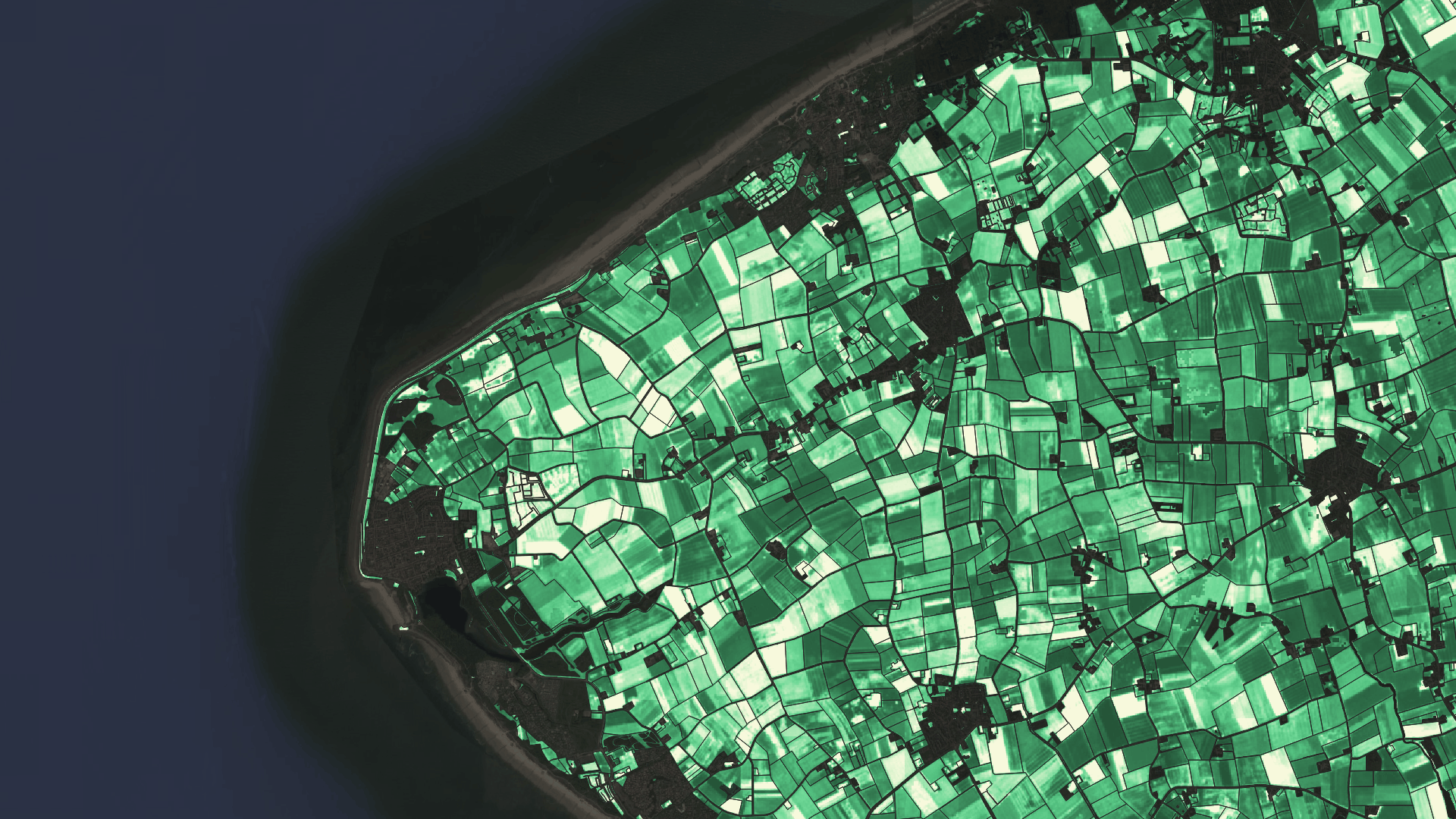
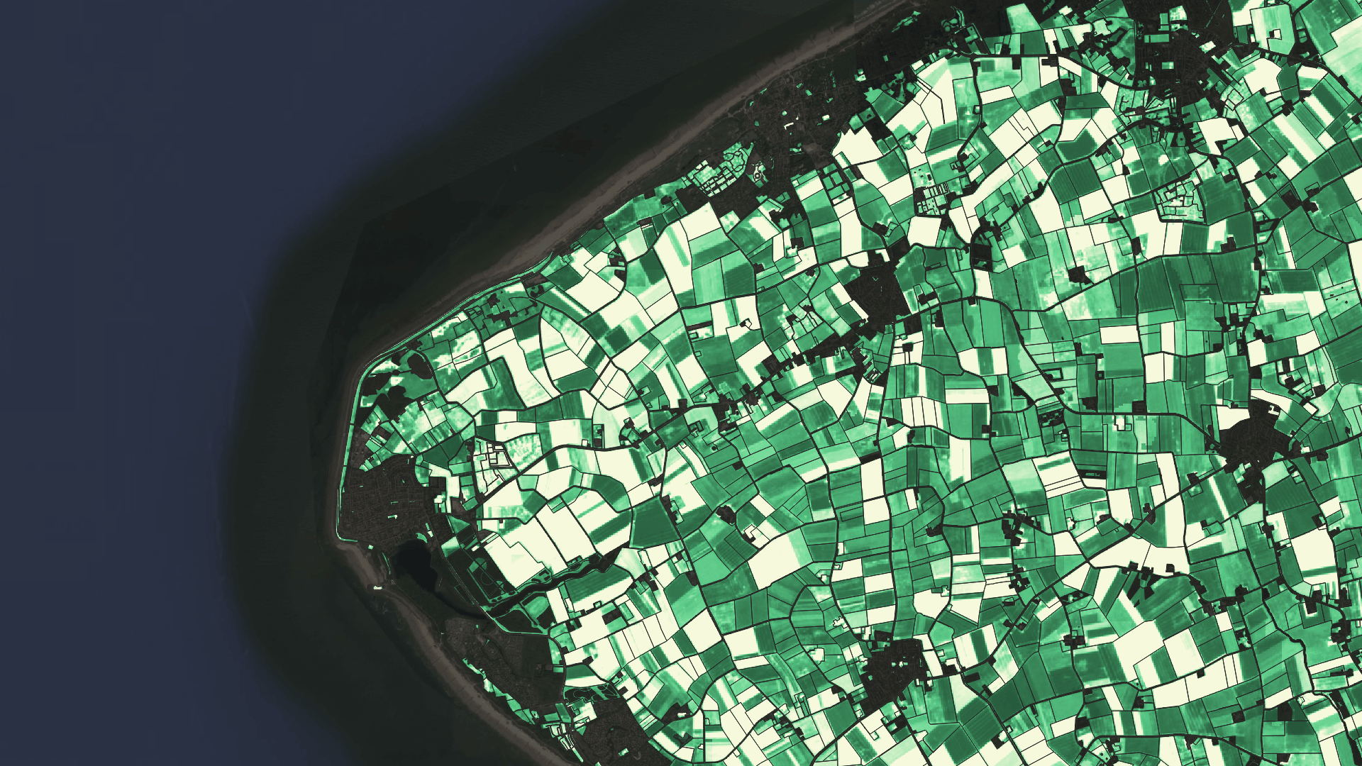
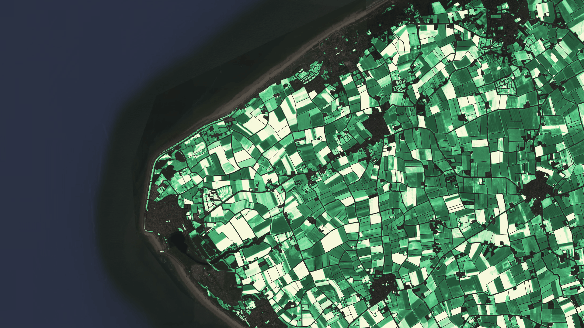
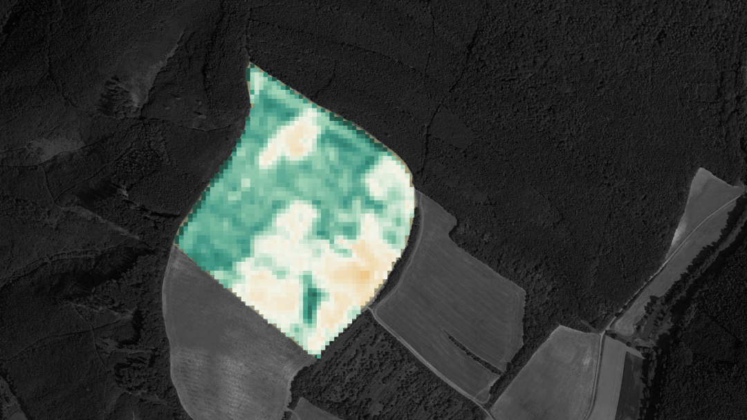
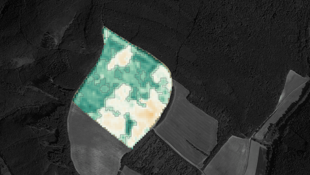
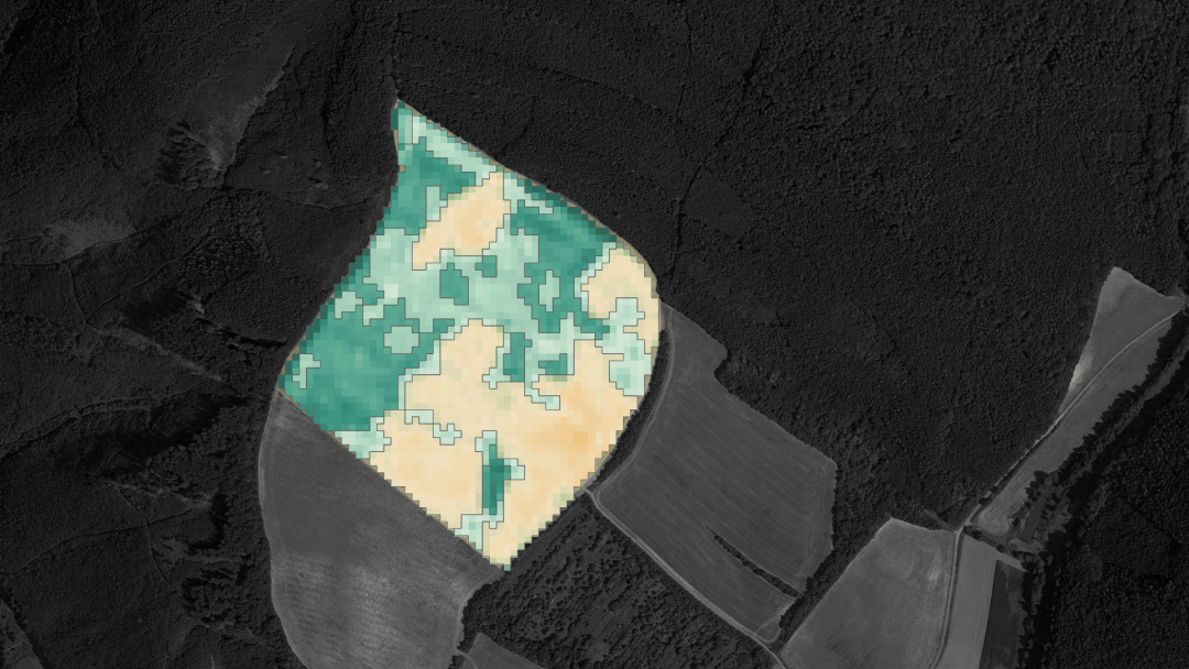
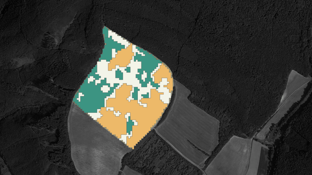
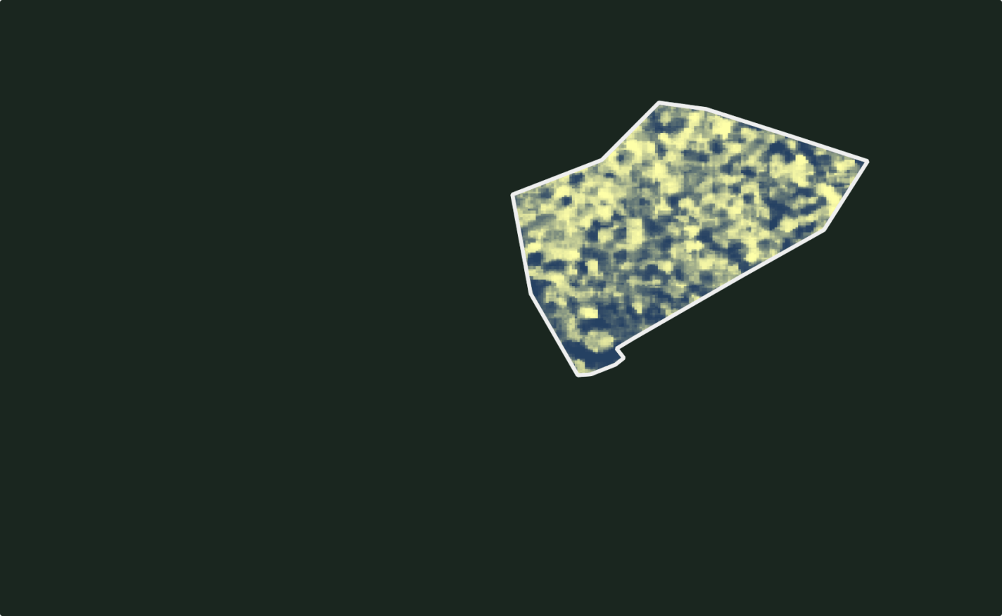
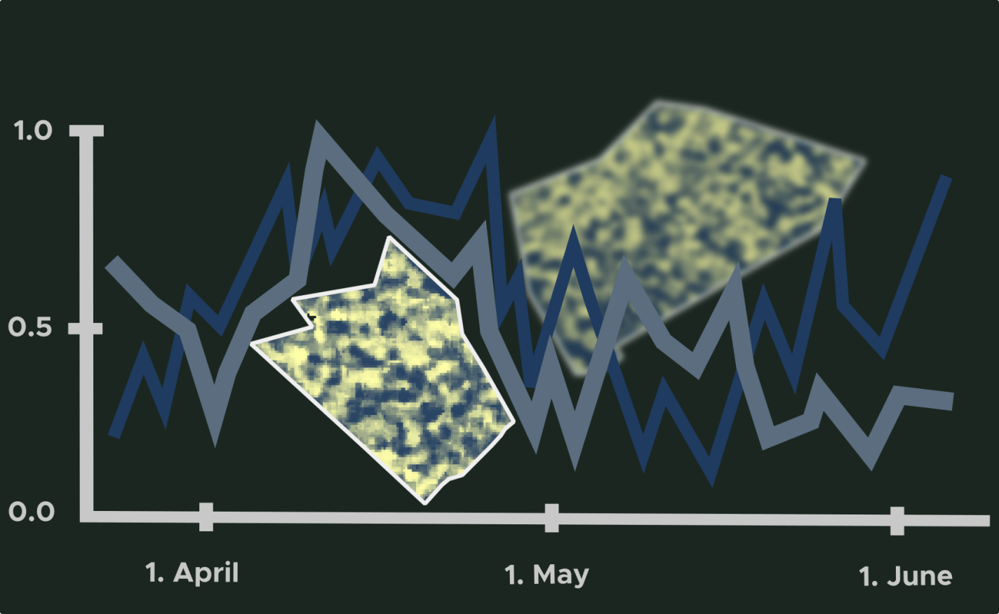
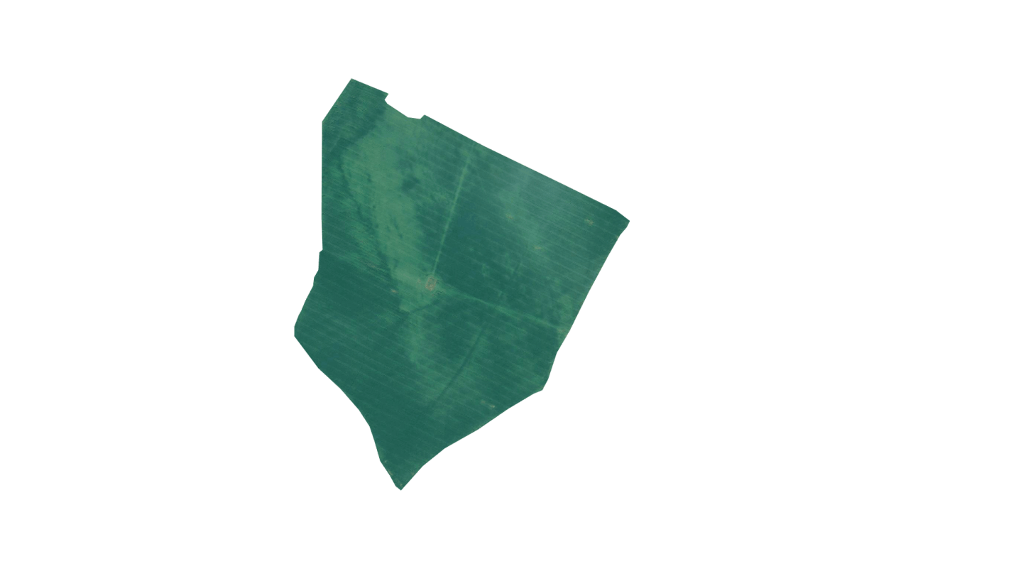
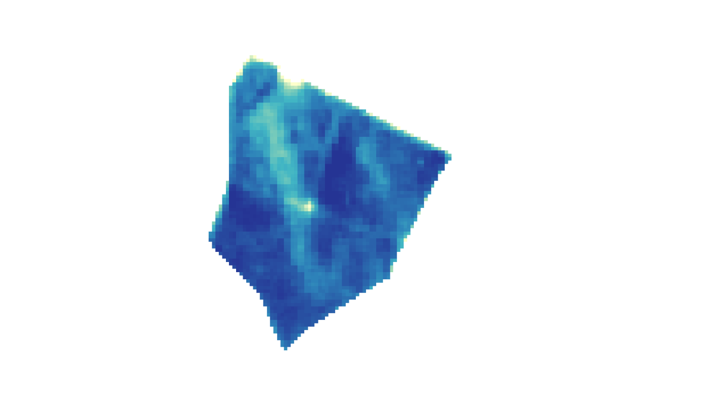
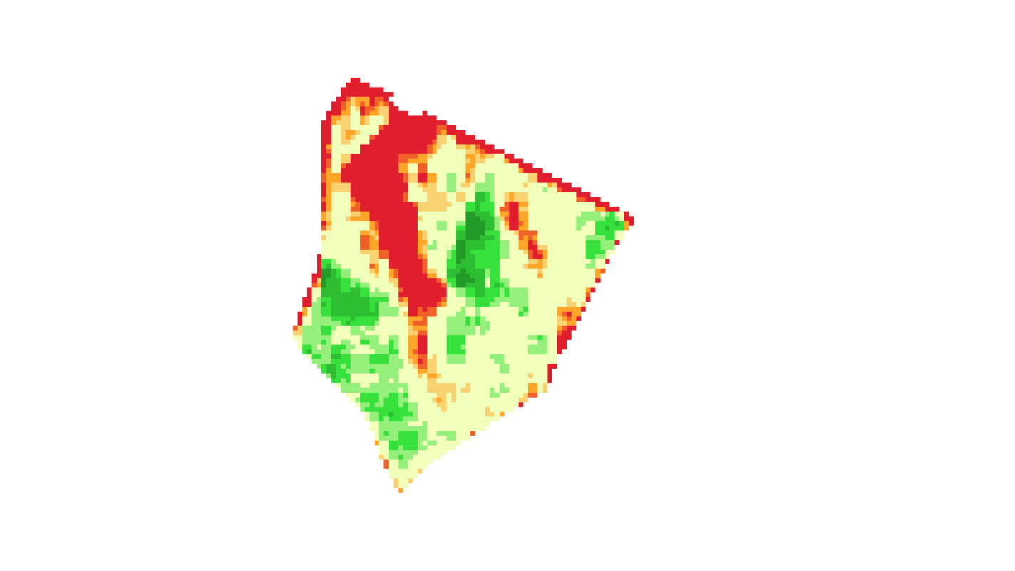
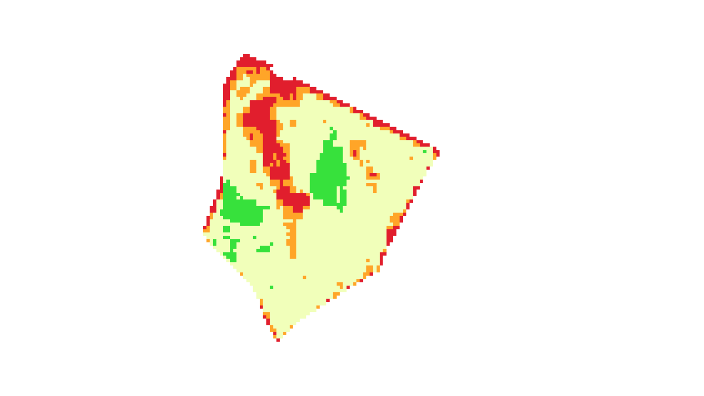
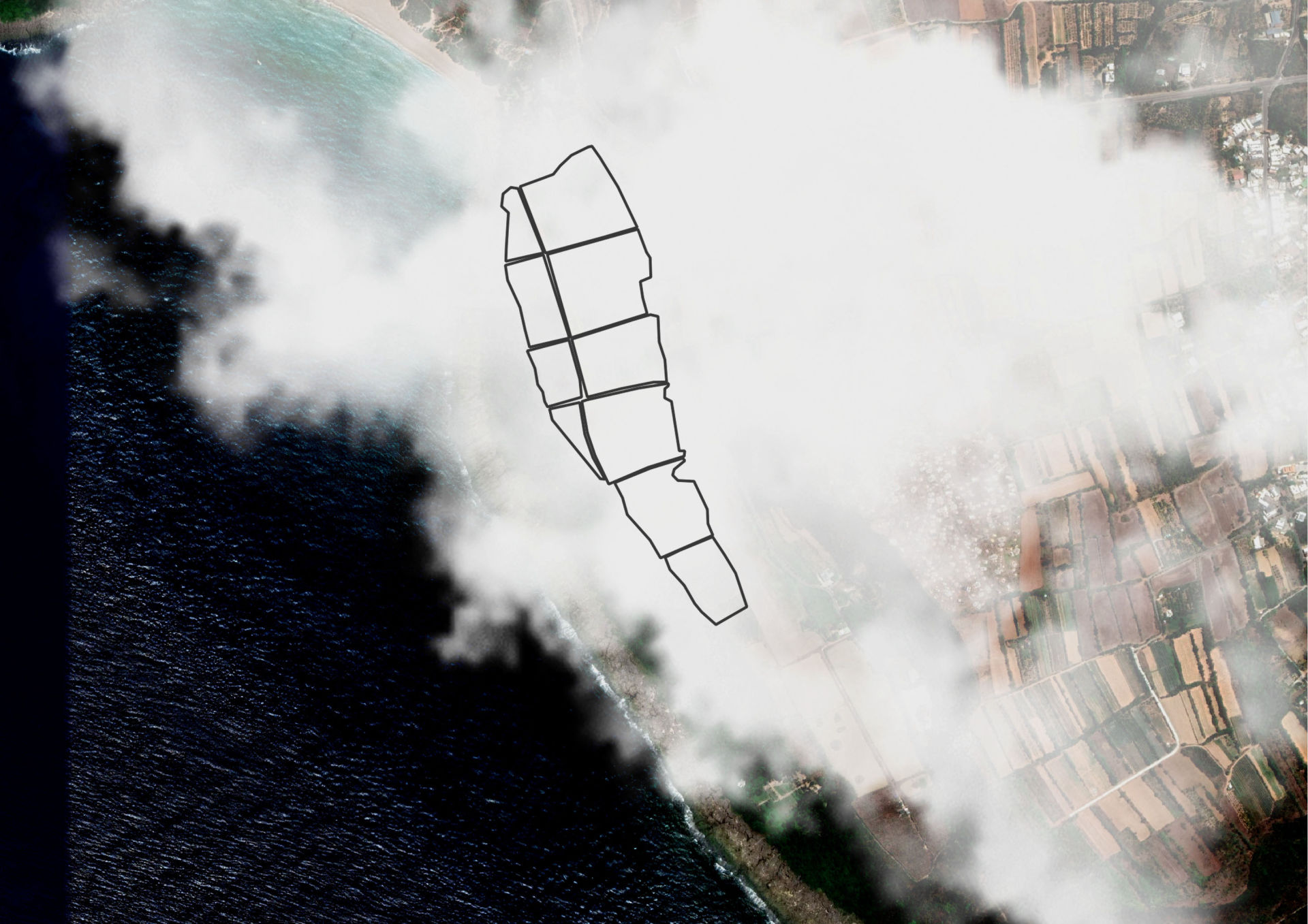
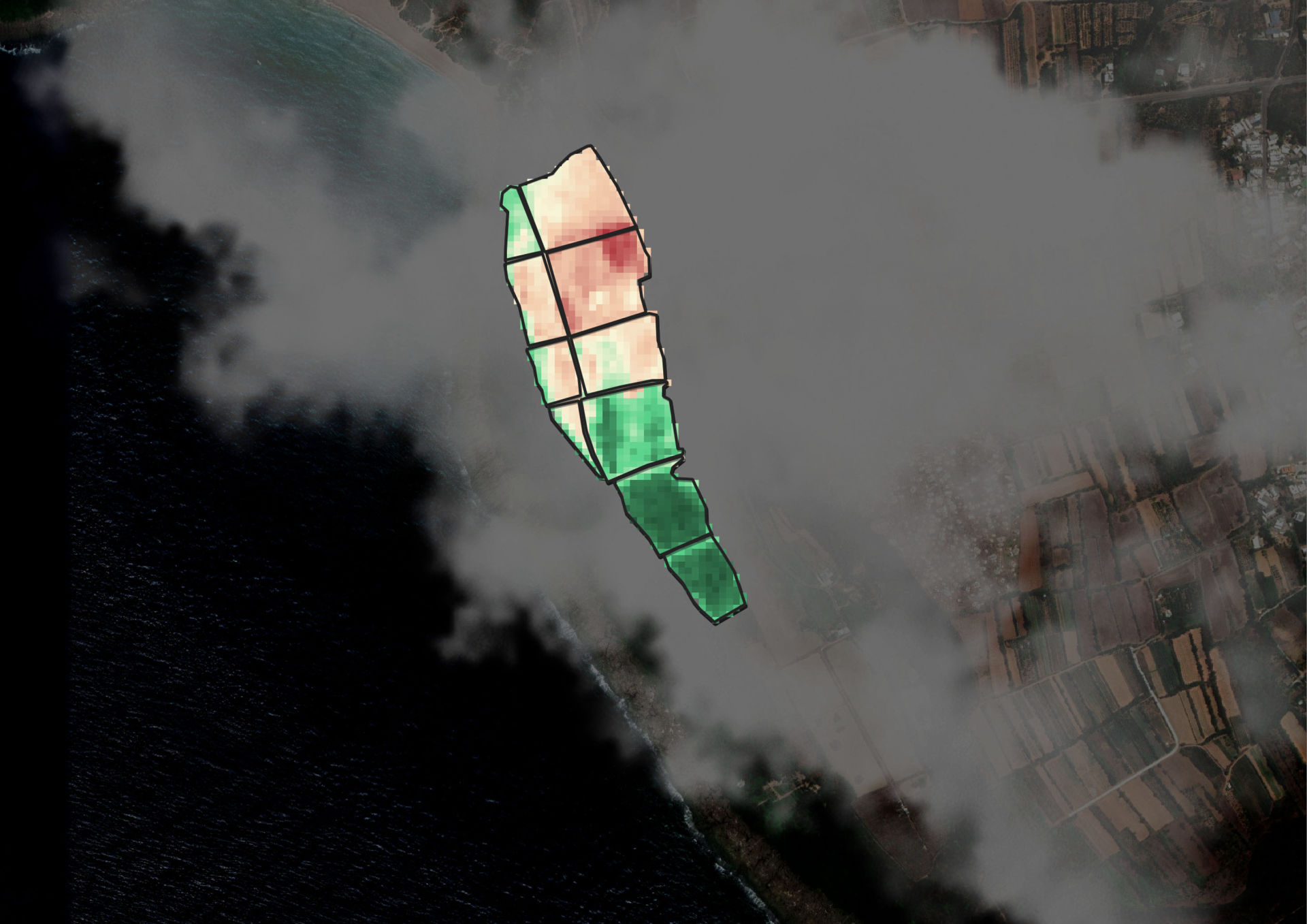
Satellite data is a powerful tool and we can make it analyse various vegetation properties and draw field zones which differ significantly from rest of the field.

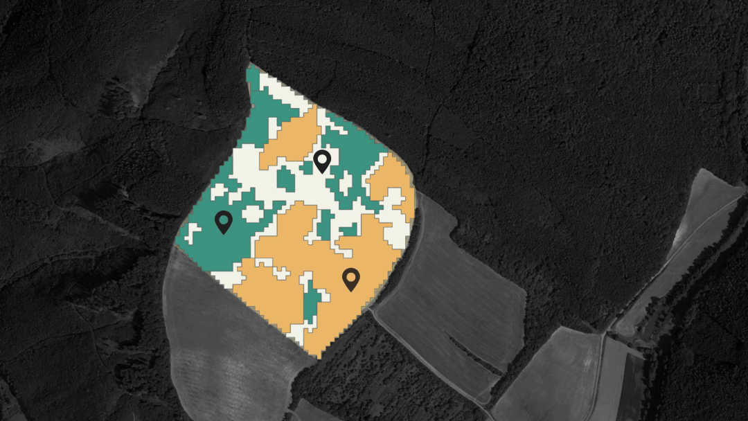
If you are more curious about the cause of growth variations you can plan field scouting or soil sampling based on maps of field zones.

3.  LONG TERM SOIL MOISTURE TIME SERIES INDICATION

Due to climate change many farmers are struggling with drought.

Discover dry as well as waterlogged areas in any field to optimize irrigation systems thanks to the soil moisture indicator.

4. VARIABLE RATE FERTILISING

USE OF FIELD VARIABILITY MAPS

Uniform distribution of fertilizers is not cool anymore. Especially if you consider farmers' budget and our precious environment.

5. CONTINUOUS MONITORING WITH CLOUD FREE DATA

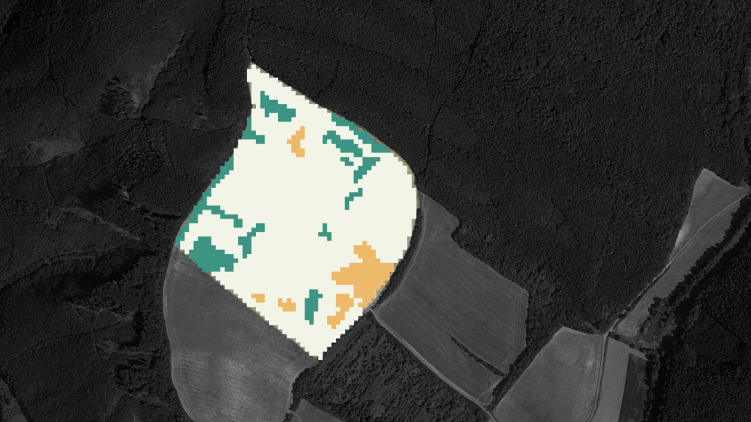
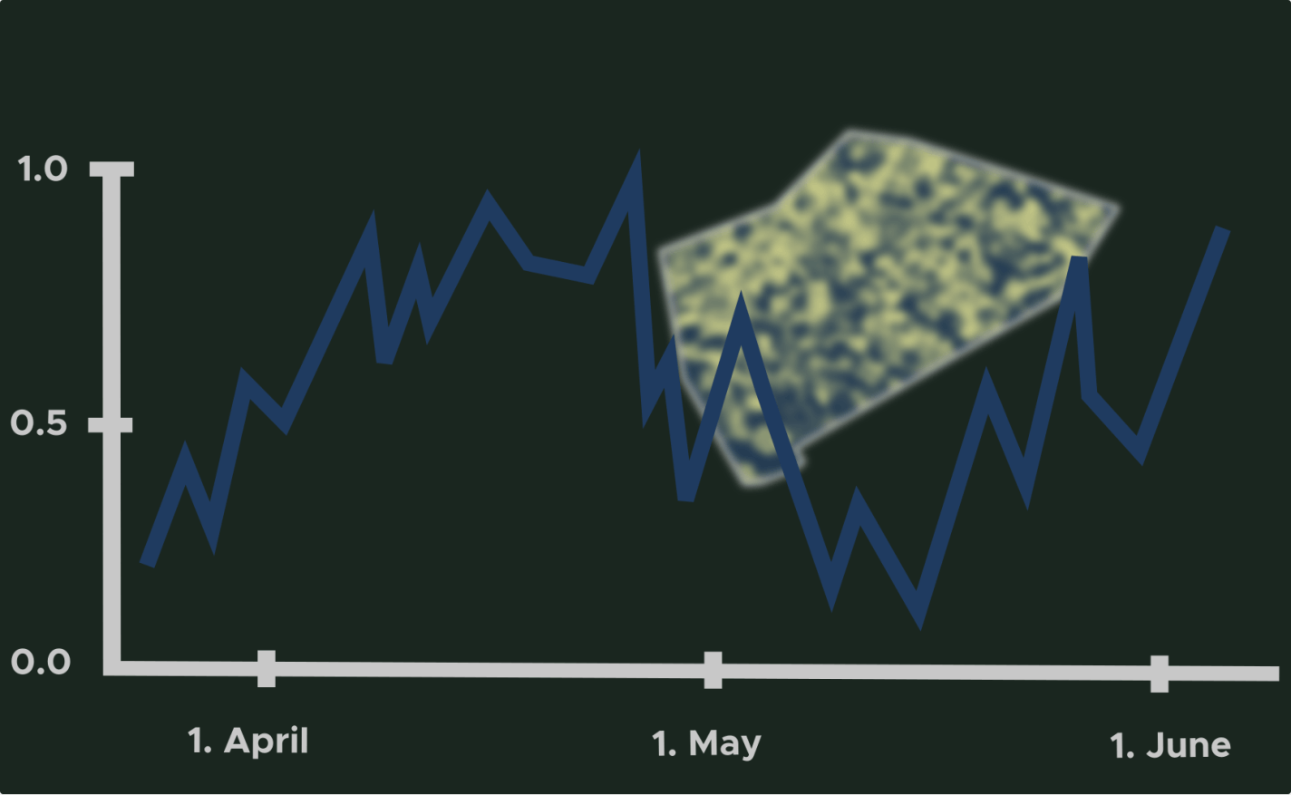
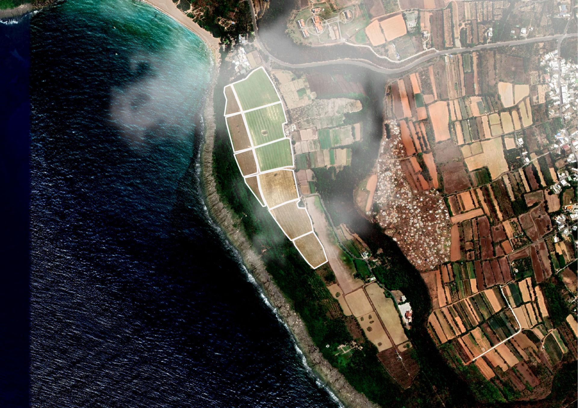
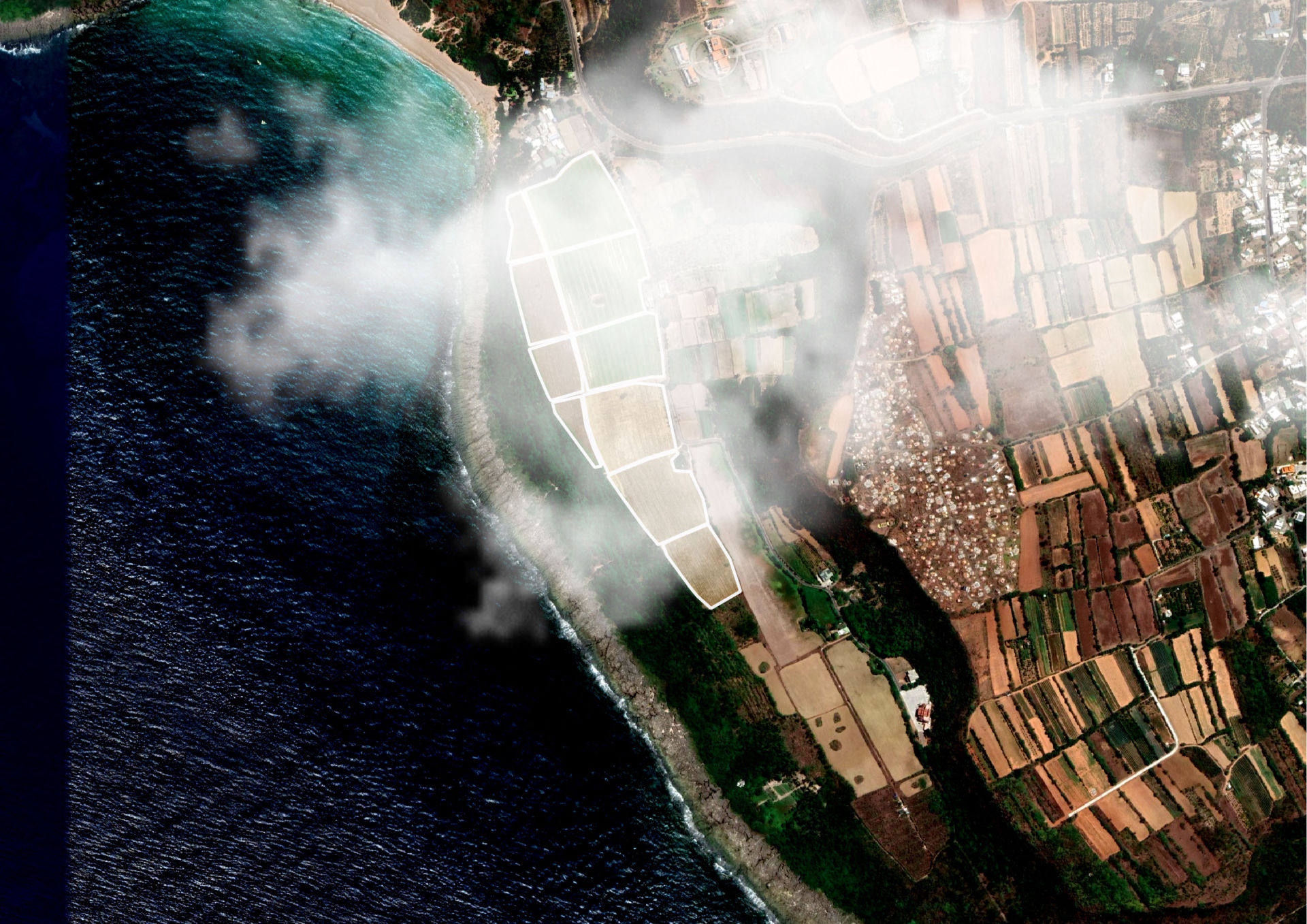
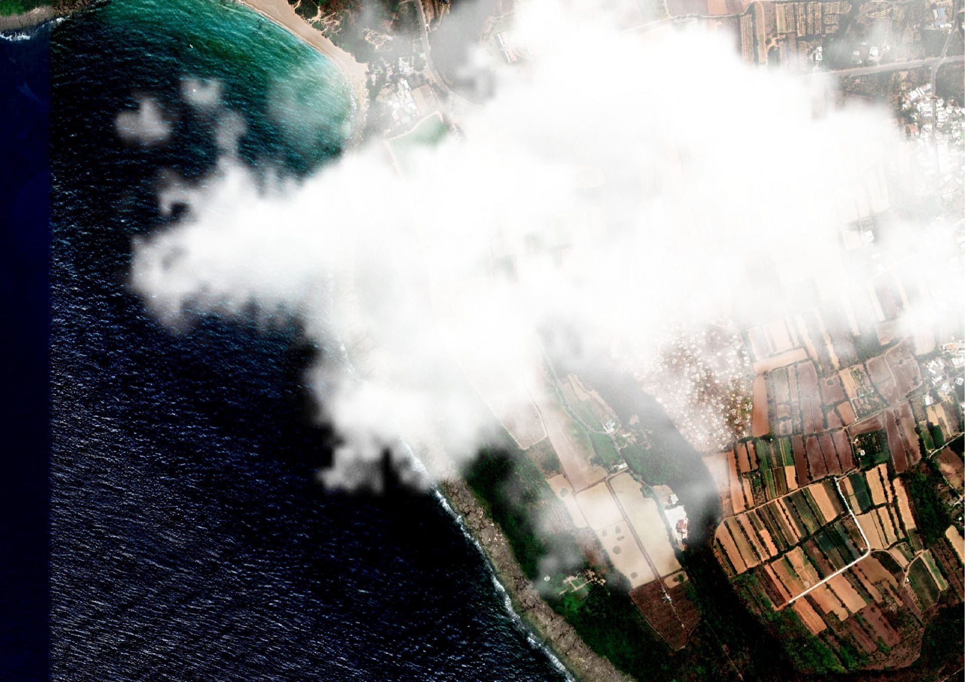
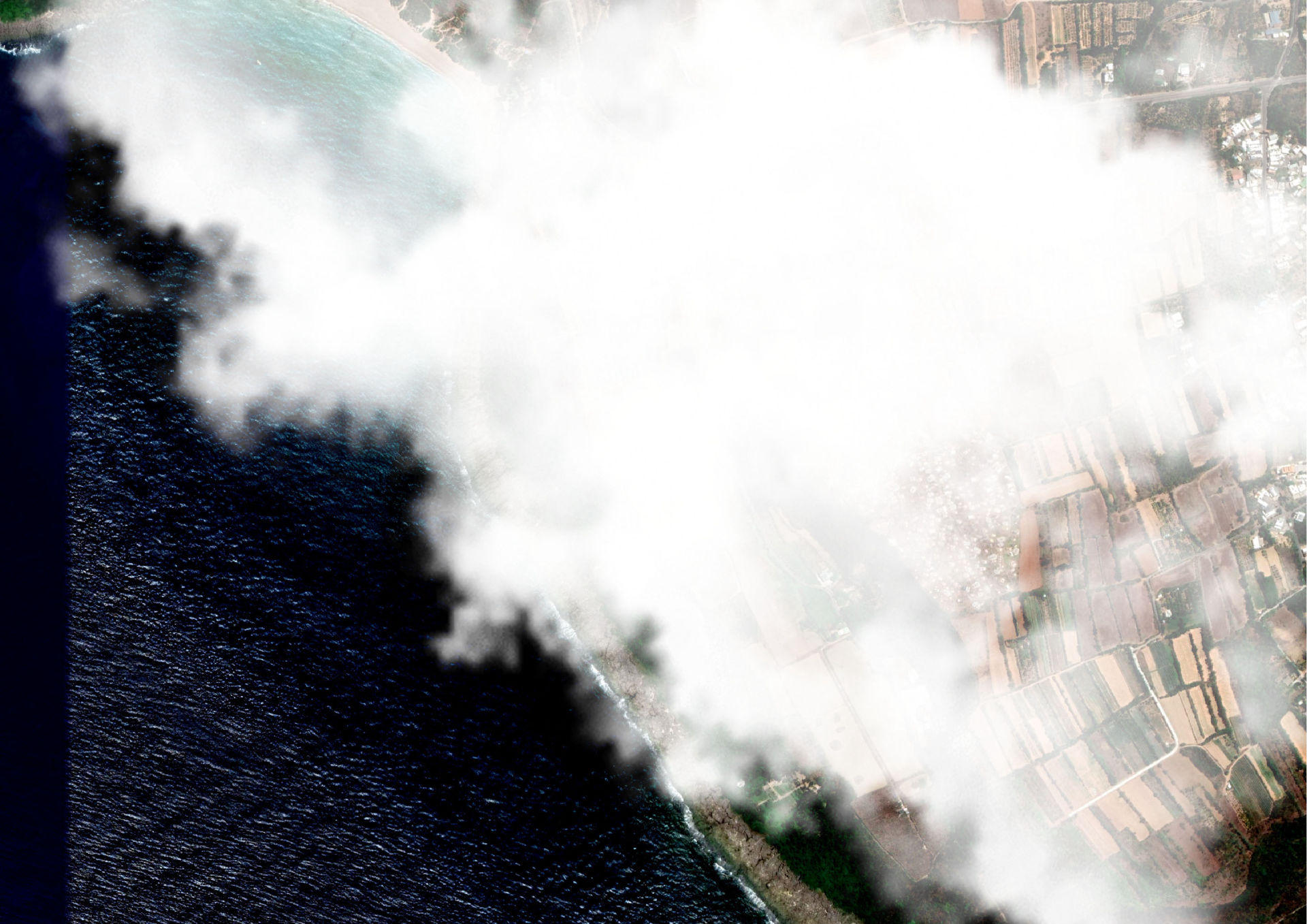
If farmers get used to using satellite data, two weeks of cloudy weather can paralyse all precision agriculture operations. Our AI algorithm will combine multispectral and radar data to aquire valuable information about crop health and maturity regardless of cloud cover.

COMING SOON

WHAT COMES NEXT...

Irrigation recipe

Manage irrigation needs of crops based on actual soil moisture in root-zone depth

Enjoy weather forecasts

Predict crop growth from the actual state and weather forecast using the same API

Timing

Use phenology shifts to better plan and prioritize field work

Your ideas

Bring your needs and find a solution with us


Access options

API


Multiple format output

GeoTIFF,
JohnDeere Native Formats

PNG


Map Tiles


JSON,
GeoJSON,
ISOBUS XML

DynaCrop's main deliverables

Vegetation indices
Soil Moisture Index
Timeseries


Zoning for variable rate fertilizing

Schedule a meeting

If you have any questions regarding our service or satellite technology in general, don't hesitate to organize a meeting or contact us using other ways:

+420 603 546 994
dynacrop@worldfrom.space


eshape2 EU Copenicus


This story was developed in the framework of the EuroGEO e-shape project. The e-shape project has received funding from the European Union’s Horizon 2020 research and innovation programme under grant agreement 820852.


© Copyright 2021 World from Space